Continue with onX Maps
 Sign in with Facebook


Auburn State Recreation Area
 CA
CA- …Sacramento Valley
- Greater Auburn
- Auburn State Recreation Area


Recommended Routes in Auburn State Recreation Area - 7
MTB Project is built by riders like you. Add Your Recommended Routes


 Intermediate
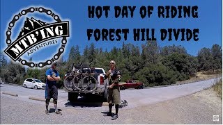
Foresthill Divide
11.0 mi 17.6 km • 1,344' Up 409.78 m Up • 1,345' Down 409.85 m Down

 Auburn…, CA
 Intermediate/Difficult
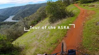
Tour the ASRA
25.8 mi 41.5 km • 3,024' Up 921.73 m Up • 3,025' Down 922.06 m Down
Auburn…, CA
 Intermediate/Difficult
Foresthill Connector to Confluence
7.4 mi 11.9 km • 536' Up 163.47 m Up • 1,656' Down 504.62 m Down
Auburn…, CA
 Intermediate/Difficult
ASRA 7 Mile Loop
7.4 mi 11.9 km • 1,095' Up 333.79 m Up • 1,095' Down 333.82 m Down
North A…, CA
Intermediate/Difficult
Tour of the ASRA with No Road Riding - Nates Pretzel Loop
24.8 mi 39.9 km • 3,380' Up 1030.12 m Up • 3,380' Down 1030.31 m Down
Auburn…, CA


Auburn State Recreation Area Biking
- 38 Miles 61 Kilometers of Trail
- 7 Recommended Routes
- 4
Easy Trails

- 34
Intermediate Trails

- 4
Difficult Trails

Weather Averages
|
High
|
Low
|
Precip
|
Days w/
|
| J | F | M | A | M | J | J | A | S | O | N | D |
Trails in Auburn State Recreation Area - 35
MTB Project is built by riders like you. Add Your Trails
|
1.2
mi
1.9
km
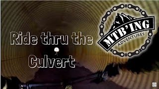
#1Culvert Trail
Intermediate/Difficult
North Auburn, CA
|
Intermediate/Difficult
|
North Auburn, CA |
41
|
|
|
1.7
mi
2.8
km
#2Confluence Trail
Intermediate/Difficult
Auburn Lake Trails, CA
|
Intermediate/Difficult
|
Auburn Lake Trails, CA |
20
|
|
|
3.7
mi
5.9
km
#3Connector Trail
Intermediate
Auburn Lake Trails, CA
|
Intermediate
|
Auburn Lake Trails, CA |
15
|
|
|
1.4
mi
2.2
km
#4Stonewall Trail
Intermediate/Difficult
Auburn Lake Trails, CA
|
Intermediate/Difficult
|
Auburn Lake Trails, CA |
8
|
|
|
1.4
mi
2.2
km
#5Manzanita Trail
Intermediate/Difficult
Auburn, CA
|
Intermediate/Difficult
|
Auburn, CA |
5
|
|
|
1.5
mi
2.5
km
#6Fuel Break Trail
Intermediate
North Auburn, CA
|
Intermediate
|
North Auburn, CA |
5
|
|
0.3
mi
0.5
km
#7Murderers Trail
 Difficult
Auburn Lake Trails, CA
|
Difficult
|
Auburn Lake Trails, CA |
2
|
|
|
1.9
mi
3.1
km
#8Clementine Climb
Intermediate
North Auburn, CA
|
Intermediate
|
North Auburn, CA |
7
|
|
1.6
mi
2.5
km
#9Auburn Quarry
 Easy
Easy
Auburn, CA
|
Easy
|
Auburn, CA |
3
|
|
|
2.5
mi
4.1
km
#10Rim Trail
Intermediate
Auburn, CA
|
Intermediate
|
Auburn, CA |
3
|
Photos of Auburn State Recreation Area - 25
MTB Project is built by riders like you. Add Your Photos