
 Continue with onX Maps
 Sign in with Facebook


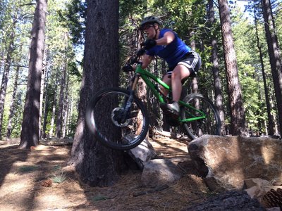
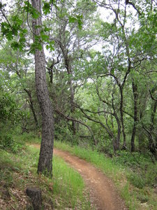
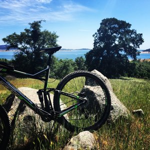
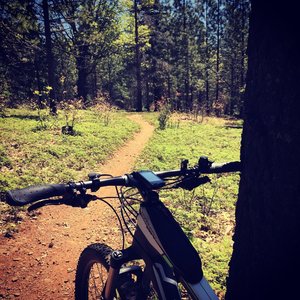
Top Recommended MTB Rides
near Groveland, California
Groveland, California 
Recommended Routes, Photos, & More

 Intermediate/Difficult
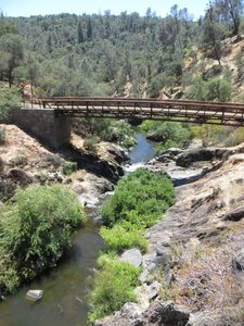
Sidewinder Corral Ride
9.2 mi 14.7 km • 1,388' Up 423.1 m Up • 1,392' Down 424.23 m Down

 South L…, CA
 Intermediate
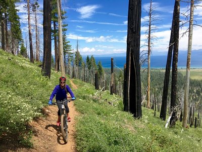
Foresthill Divide
11.0 mi 17.6 km • 1,344' Up 409.78 m Up • 1,345' Down 409.85 m Down
Auburn…, CA
 Intermediate
Granite Bay Trail
7.3 mi 11.7 km • 519' Up 158.32 m Up • 520' Down 158.61 m Down
 Intermediate
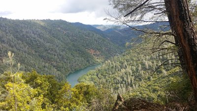
Salmon Falls (Darrington Trail)
15.9 mi 25.6 km • 717' Up 218.52 m Up • 717' Down 218.57 m Down
 Intermediate
Fleming Meadow Loop
6.5 mi 10.5 km • 949' Up 289.39 m Up • 979' Down 298.41 m Down
Pollock…, CA
 Intermediate
Hidden Falls Park - 9 Mile Trail
9.3 mi 14.9 km • 1,060' Up 323.14 m Up • 1,069' Down 325.85 m Down
North A…, CA
Intermediate/Difficult
Tour the ASRA
25.8 mi 41.5 km • 3,024' Up 921.73 m Up • 3,025' Down 922.06 m Down
Auburn…, CA
 Intermediate/Difficult
Tour of Angora Ridge/Tahoe Mountain Loop
12.4 mi 20.0 km • 1,749' Up 533.06 m Up • 1,747' Down 532.61 m Down
South L…, CA
 Intermediate/Difficult
Foresthill Connector to Confluence
7.4 mi 11.9 km • 536' Up 163.47 m Up • 1,656' Down 504.62 m Down
Auburn…, CA
 Intermediate
Jenkinson Lake aka Sly Park
8.2 mi 13.2 km • 680' Up 207.14 m Up • 657' Down 200.22 m Down
 Difficult
Monument Pass, Freel Peak, and Mr. Toads Wild Ride
24.8 mi 40.0 km • 3,675' Up 1120 m Up • 4,764' Down 1451.92 m Down
Kingsbury, NV

 Easy/Intermediate
Lake Natoma Loop
12.0 mi 19.3 km • 294' Up 89.75 m Up • 294' Down 89.48 m Down
 Intermediate/Difficult
Skunk Hollow to South Fork ART (American River Trail)
14.1 mi 22.6 km • 1,693' Up 515.88 m Up • 1,697' Down 517.14 m Down
 Intermediate
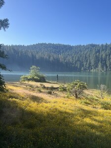
Buckridge at Lake Hensley
5.7 mi 9.2 km • 660' Up 201.22 m Up • 660' Down 201.31 m Down
 Intermediate
El Dorado Trail - Placerville to Folsom
32.6 mi 52.5 km • 436' Up 132.91 m Up • 1,874' Down 571.15 m Down
 Difficult
Tahoe Rim Trail to Christmas Valley Trail
8.9 mi 14.3 km • 1,554' Up 473.66 m Up • 1,543' Down 470.45 m Down
South L…, CA
 Intermediate/Difficult
ASRA 7 Mile Loop
7.4 mi 11.9 km • 1,095' Up 333.79 m Up • 1,095' Down 333.82 m Down
North A…, CA
 Difficult
Armstrong Pass Ride
16.6 mi 26.8 km • 1,439' Up 438.67 m Up • 2,669' Down 813.44 m Down
South L…, CA
 Intermediate/Difficult
Armstrong to Strawberry - IMBA EPIC
38.7 mi 62.3 km • 4,692' Up 1430.06 m Up • 6,637' Down 2022.84 m Down
South L…, CA
 Difficult
Thunder Mountain Loop
11.1 mi 17.9 km • 2,073' Up 631.95 m Up • 2,071' Down 631.09 m Down
South L…, CA
 Intermediate
Uptown Downtown - Full Loop
9.3 mi 15.0 km • 949' Up 289.18 m Up • 948' Down 289.01 m Down
Mammoth…, CA
 Difficult
Tahoe Rim: Spooner to Town
17.7 mi 28.5 km • 2,127' Up 648.28 m Up • 2,994' Down 912.68 m Down
Indian…, NV
 Easy/Intermediate
Railroad Grade Loop
4.9 mi 7.9 km • 199' Up 60.7 m Up • 199' Down 60.8 m Down
South L…, CA
Difficult
Xmas Valley Epic
17.5 mi 28.2 km • 2,685' Up 818.24 m Up • 2,704' Down 824.08 m Down
South L…, CA
 Very Difficult
Rose to Toads
65.3 mi 105.0 km • 9,100' Up 2773.79 m Up • 11,390' Down 3471.72 m Down
Incline…, NV
 Difficult
Chepo Saddle to Mary Jane
12.8 mi 20.7 km • 2,192' Up 668.25 m Up • 2,190' Down 667.53 m Down
 Intermediate
Orestimba Coral-Dutch Trail Loop
14.6 mi 23.6 km • 2,282' Up 695.59 m Up • 2,282' Down 695.57 m Down
Morgan…, CA
 Intermediate/Difficult
South Henry Coe Singletrack Tour
27.8 mi 44.8 km • 6,143' Up 1872.51 m Up • 6,153' Down 1875.36 m Down
San Martin, CA


