
 Continue with onX Maps


Rate Photo


 4.3
from
4 votes
4.3
from
4 votes
Leslie Kehmeier
Jun 4, 2015
near Marlinton,
WV
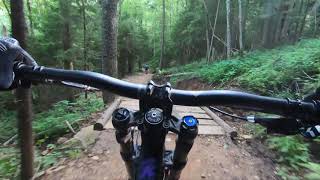
“The upper end of H trail has plenty of steep root sections as soon as you drop in.”


 H Trail
 Dirt Beaver
 B Trail


0 Comments