
 Continue with onX Maps


Rate Photo


Liam Moran
Dec 29, 2020
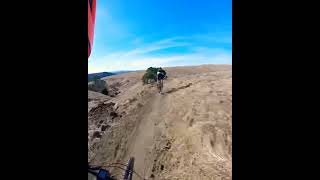
near Crockett,
CA
“The Slab—asphalt area with picnic tables that is the top of the hill between Sugar City (through gate straight ahead) and Soaring Eagle trail that heads back to Cummings Skyway”


 Crockett Hills ALL FLOW
 Crockett Hills Beginner Loop
 Two Peaks Trail


0 Comments