
 Continue with onX Maps
 Sign in with Facebook


 Intermediate/Difficult


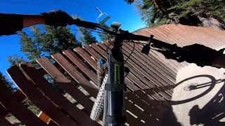
“A fun and flowy descent from McCoy Station that links with many other trails in the bike park. ”


3.3
Miles5.3
KMSingletrack


1 Comment