
 Continue with onX Maps
 Sign in with Facebook


 Difficult

 Difficult
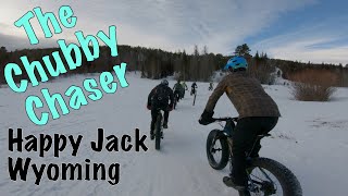
Land Manager: USFS - Medicine Bow & Routt National Forest Office

 2019 ROLL-A-FATTY Fat Bike Enduro
17.4 mi 27.9 km • 1,985' Up 605.06 m Up • 1,989' Down 606.11 m Down
Laramie, WY
Laramie Range Epic
29.2 mi 46.9 km • 2,734' Up 833.21 m Up • 2,732' Down 832.69 m Down
Laramie Range Epic
29.2 mi 46.9 km • 2,646' Up 806.63 m Up • 2,643' Down 805.7 m Down
Laramie, WY

 Curt Gowdy Blues (& Greens)
18.2 mi 29.3 km • 1,854' Up 565.23 m Up • 1,853' Down 564.9 m Down

 Red Mountain Open Space
12.1 mi 19.5 km • 1,403' Up 427.57 m Up • 1,401' Down 426.95 m Down
 Mahogany Loop
7.6 mi 12.2 km • 581' Up 177.01 m Up • 580' Down 176.85 m Down
Wellington, CO


0 Comments