Continue with onX Maps
 Sign in with Facebook


Member Since
May 15, 2016
Last Visit: Dec 20, 2024
164 Points
Details
2 Recommended Routes
40 pts - 20 each
6 pts - star rating bonus
6 pts - star rating bonus
5 Trails
50 pts - 10 each
18 pts - star rating bonus
18 pts - star rating bonus
0 Segments
0 pts - 3 each
10 Photos
20 pts - 2 each
30 pts - star rating bonus
30 pts - star rating bonus
0 Page Improvements
0 pts - 1 each
Shared Routes & Trails View All 7
4.9
mi
7.9
km
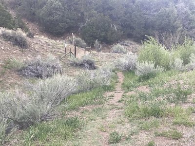
Capulin Trail #494
 Intermediate/Difficult
Taos, NM

|
Intermediate/Difficult
|
Taos, NM |
3
|
|
2.8
mi
4.6
km
Forest Service Road #445
 Intermediate
Angel Fire, NM
|
Intermediate
|
Angel Fire, NM |
1
|
|
2.5
mi
4.0
km
FS Trail #660A
 Difficult
Ranchos de Taos, NM
|
Difficult
|
Ranchos de Taos, NM |
1
|
|
|
2.8
mi
4.5
km
Shadow Mountain Road (Capulin FSR #10)
Intermediate/Difficult
Taos, NM
|
Intermediate/Difficult
|
Taos, NM |
1
|
|
|
6.2
mi
9.9
km
Trail #18 - Rancho de Rio Grande
Intermediate
Ranchos de Taos, NM

|
Intermediate
|
Ranchos de Taos, NM |
5
|
|
|
10.4
mi
16.7
km
Capulin Loop
Intermediate
Taos, NM
|
Intermediate
|
Taos, NM |
8
|